Geospatial data API to build without limits
Access geolocated data on population, housing, commerce, mobility, and pedestrian traffic via API to integrate it into your products, dashboards, and processes across multiple markets. Integrate reliable territorial information directly into your applications, dashboards, or analysis workflows.
Pickgeo’s API powers real solutions across multiple markets.
Companies, startups, and developers use our API to integrate territorial data and mobility, population, and market metrics into their products, internal tools, and business systems.
Explore our API coverage
Check which markets and areas allow you to integrate geospatial, demographic, economic, and mobility data from a single infrastructure.
Territorial data on demand, only when you need it
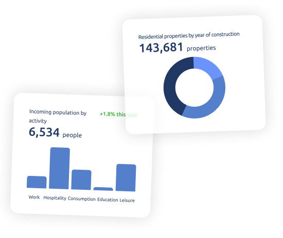
Pickgeo’s API allows you to programmatically access geospatial data and territorial statistics stored on our platform. This means you can power your applications, dashboards, or models with fresh and relevant information, without the need to manually download reports or work with heavy files.
With our API, you can retrieve population, income, mobility, retail competition, and other territorial indicators for the areas you need, depending on the available coverage in each market.

Built for technical and data-driven teams
SaaS product teams
Enrich features and segmentation with integrated geospatial data, without technical friction.
Territory-focused startups
Build differentiated value propositions using business-ready data, without managing multiple sources.
Apps with maps and geodata
Add demographic, economic, and mobility layers to provide real context to users.
Business Intelligence teams
Feed dashboards and models with area-based metrics that are always updated and consistent.
Platforms that require area-based data
Automate territorial queries and calculations for fast, repeatable, and traceable decisions.
An API designed to adapt to your business
Every project is different. That is why Pickgeo API lets you consume exactly the data you need, when you need it, and in the format that best fits your architecture.
Integrate our data into:
01
SaaS products
02
Internal dashboards
03
Web or mobile applications
04
Analytical models and automated processes
Data-rich APIs for multiple needs
Pickgeo’s API provides access to a wide collection of data and metrics designed to integrate with and amplify the value of your projects.
Coordinates and geographic boundaries to define areas, radii, and analysis zones
Demographic data by area segmented by age, population, and territorial distribution
Economic and consumption indicators to assess income, spending, and commercial potential
Coordinates and geographic boundaries applicable to maps, polygons, and spatial queries
Demographic data by area useful for segmentation, analysis, and territorial models
Economic and consumption indicators aimed at business and market decision-making
Integrating our data is simple
With Pickgeo’s API, you can request territorial and geospatial data through endpoints designed to be intuitive and easy to integrate into your applications or workflows.
01
Access to API credentials
Request your credentials and authenticate to start consuming data from our endpoints.
02
Query available endpoints
Select the datasets you need according to your use case.
03
Integration into your systems
Consume the data directly in your application, dashboard, or internal workflow.
04
Analysis and decision-making
Use updated territorial data to support decisions based on objective information.
How others use Pickgeo’s API
Pickgeo’s API helps solve real business and technical needs across multiple sectors.
- Enhance dynamic maps with demographic and economic data
- Feed commercial or territorial analysis dashboards
- Generate area scoring indexes
- Integrate data into mobile applications
- Analyze mobility and traffic for geofencing
Start integrating geospatial data today
Request access to Pickgeo’s API and start working with reliable, scalable, production-ready territorial data.
Frequently asked questions about the API
We answer the most common questions about the use, scope, and operation of Pickgeo’s API.
What is Pickgeo’s API?
A service that allows programmatic access to geospatial and territorial data in Spain.
What type of data can I query?
Demographic data, points of interest, mobility, income, housing, and more.
Do I need technical experience to use it?
It is not essential, although it is designed for technical integrations through API.
Are the data updated?
Yes, each dataset indicates its update frequency and latest refresh date.
Can I use the API in production?
Yes, with an active plan and the corresponding keys.
In which countries or markets is the API available?
Availability depends on the dataset and the level of coverage in each market. We can help you validate which data are available for your use case.